Kite spot on water · Australia
Sydney - North - Long Reef
Riders have kited it in N–SSW. Best in ENE, E.
- Works in
- N–SSW
- Best
- ENE, E
- Watch out
- NE, SE, SSW, SW, W
- Nearest airport
- SYDSydney Kingsford Smith International Airport, 25 km
Forecast and webcams
Before you go
Forecasts often disagree. When Windguru, ALADIN and Windy agree, it is worth going.
Webcams nearby
Live images from cameras within 25 km of the spot. Click to open the camera on Windy.com.
Webcams: Windy.com
Tips for this spot
- Offshore wind carries you away from land. Do not ride it without a rescue boat.
- When a storm is coming, get out of the water and land the kite at once. Gusts before a storm are violent and a kite overhead is the highest point around.
- New spot: ask locals about shallows, currents and where people launch.
On site
Wind and riding area
bestworksdoes not work / gustyno reports
Direction the wind blows from. Based on riders' experience, not a forecast.
riding areaPparking
From riders
What you need to know
Watch out for
- Offshore wind; if the wind drops or you lose your board, the only exit is to bodydrag to Dee Why, and with a downed kite you will end up on Dee Why Headland.community map
- One of the most dangerous spots on the east coast of Australia: massive currents, waves up to 10 m breaking in multiple places, and frequent large sharks.community map
- In south wind, a lost board ends up on the rocks and a downed kite can get torn.community map
- In W winds, there is a risk of losing your kite if it drops in the water.community map
- Huge waves, currents, and can get crowded with people and surfers.community map
- Turbulent wind due to terrain obstacles on three sides.community map
- Fences, trees, and storm drain debris on the NW shore.community map
- Submerged rocks, pipes, and water depth gauge posts.community map
- Large (20 m) submerged wire cage on the north side.community map
- Polluted water and thick seaweed.community map
Where to launch
- Unless it is 20+ knots NE, the only practical way to the spot is to kite around the headland from S Narrabeen.community map
- Better to launch further north at the mouth of Dee Why Lagoon.community map
- Large kite launch and landing area.community map
Parking
- Car park “Dee Why Beach Parking Area 1” about 50 m from the spot, free.price: yes @ (07:00-19:00); no @ ("Northern Beaches Beach Parking Permit Holders") · OpenStreetMap
Rules and respect
- Do not ride through groups of surfers and surf schools at the lagoon mouth, and stay clear of the swim flags north of the lagoon (risk of fines or gear confiscation by lifeguards).community map
- Ride in the eastern part of the lagoon - activity in the western part will trigger complaints from the Friends of Dee Why Lagoon environmental group.community map
- On a good south swell, the water gets crowded with surfers - do not tack through them, ride the edges of the wave and stay clear of the surf lineup.community map
- Do not practice or teach friends here when the beach is crowded with beachgoers and swimmers.community map
- Under no circumstances ride past the first point at the southern end.community map
Conditions
- Flat water; depth along the north end past the sand is usually overhead and deeper all the way to the trees.community map
- Three offshore reef breaks working on 6+ ft swell, with waves up to 10 m on a big south swell.community map
- Super flat water in N-NE offshore wind; waves with lots of surfers on a good south swell.community map
- Waves can be huge.community map
Riders' tips
- Bring a phone in a waterproof pouch for emergencies; getting back to S Narrabeen can require a very long upwind tack out to sea.community map
- Check the wave forecast on Seabreeze and ask locals about currents and waves.community map
- Right up close, the waves look three times bigger than from the shore.community map
Facilities
- Surf schools often operate near the lagoon mouth.community map
In riders' own words
- „Good location for NE - SSW.“
- „Best in an E to ENE but can handle an SSE as well.“
- „Super flat offshore wind in a N - NE wind. ... If you kite here in a southerly“
- „Warnings: Gusty in NE and SSW... Not good in SW - as the wind comes over the headland and it's very bumpy and gusty. In SE it's dead onshore“
- „DO NOT kite here in a westerlie (yes, people do) If you drop your kite it could be bye bye.“
- „Intermediate to Expert Kiters... I've marked this as expert because the waves can be huge.“
- „Has a large area to launch and land your kite.“
- „Better to launch at next location to the N at Dee Why Lagoon entrance.“
- „Unless the wind is 20+ knots NE, the only practical way here is to kite around the headland from S Narrabeen.“
- „OpenStreetMap way/20547335“
- „OpenStreetMap way/1546482004“
- „There can be massively large waves and it can get crowded... Speak to the locals to learn more about currents and waves.“
- „Your only bailout option is to body drag to Dee Why if the wind dies or you lose your board. ... If you can't relaunch your kite, you'll end up on Dee Why Headland“
- „If you kite here in a southerly and you lose your board it will wash up in the rocks and you probably won't see it again. Drop your kite here and it may come home“
Photos from the area
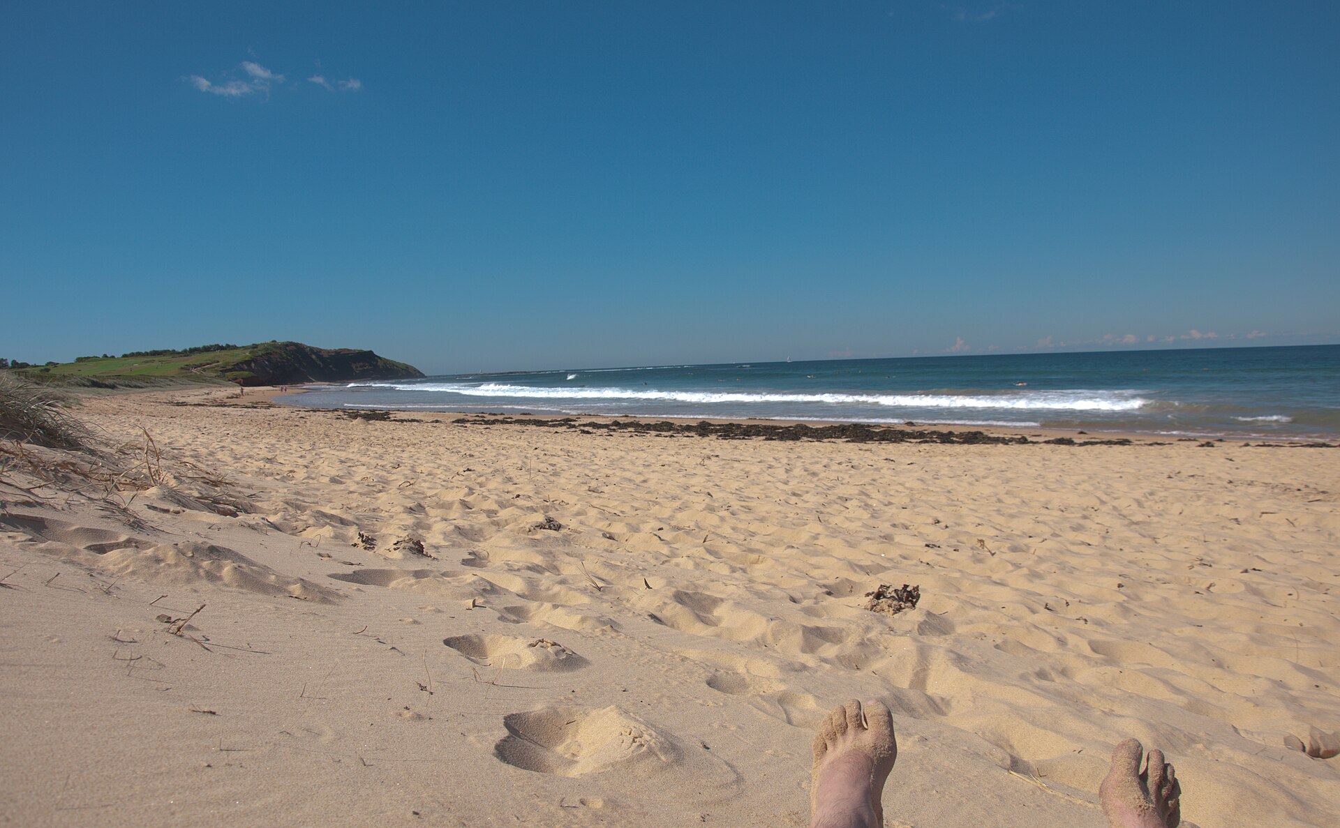
popejon2 from Paddington, Australia, CC BY 2.0, Wikimedia Commons
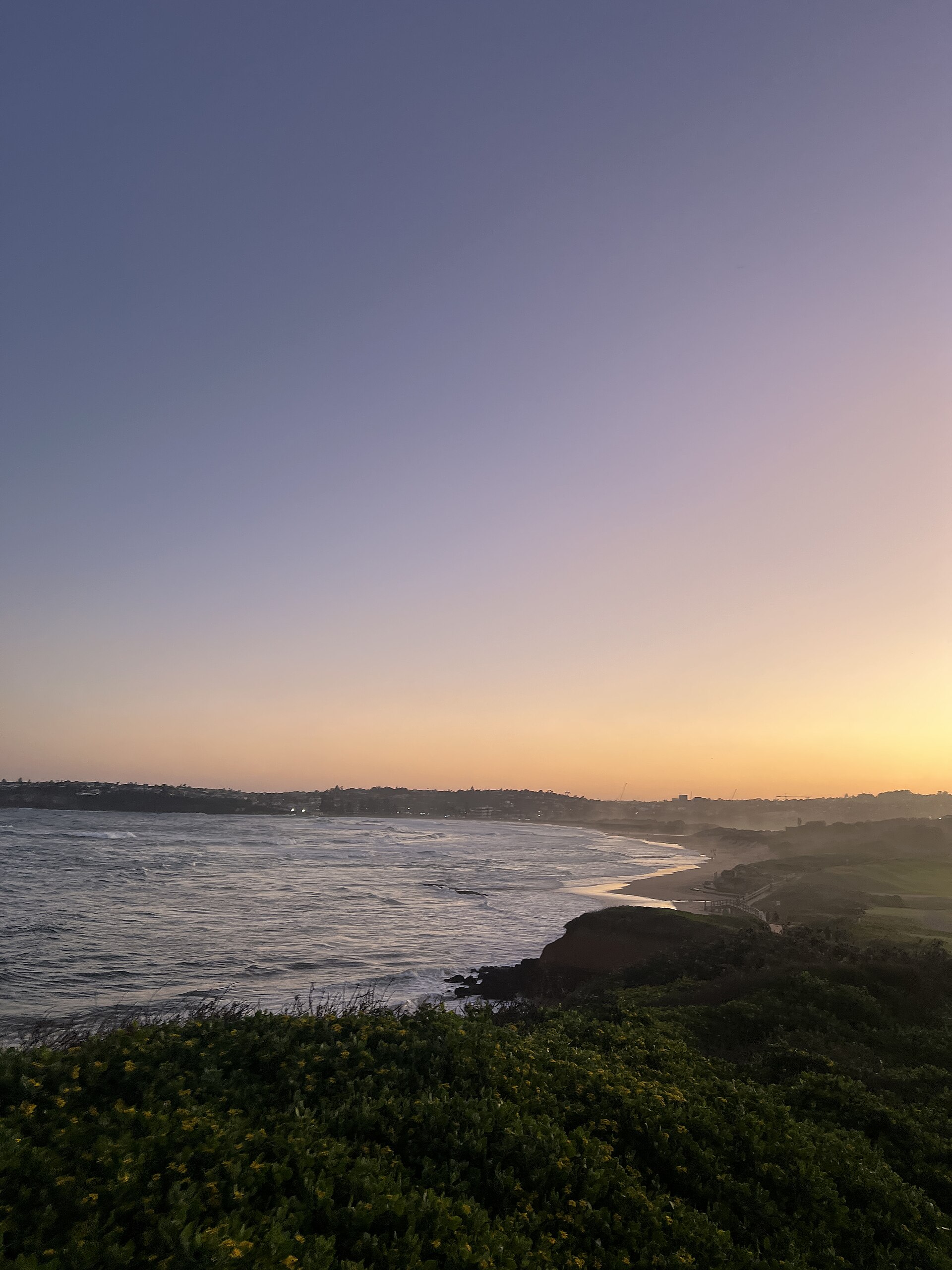
Yunanah, CC BY-SA 4.0, Wikimedia Commons
Wind by month
When it blows
Average wind speed 10 m above ground from NASA POWER (MERRA-2, 2001–2025). The model works on a grid of roughly 50 km; on hills and by the water the wind is often stronger and gustier.
windiest monthsaverage wind in knots, NASA POWER; below the month in m/s
Values by month
| January | 4.8 knots · 2.5 m/s |
|---|---|
| February | 4.7 knots · 2.4 m/s |
| March | 4.5 knots · 2.3 m/s |
| April | 4.3 knots · 2.2 m/s |
| May | 4.5 knots · 2.3 m/s |
| June | 4.6 knots · 2.4 m/s |
| July | 4.6 knots · 2.4 m/s |
| August | 4.8 knots · 2.5 m/s |
| September | 4.7 knots · 2.4 m/s |
| October | 4.7 knots · 2.4 m/s |
| November | 4.8 knots · 2.5 m/s |
| December | 4.7 knots · 2.4 m/s |
Nearby
More spots within 60 km
- Sydney - North - FishermansWater · 1 km
- Sydney - North - Little MakahaWater · 1 km
- Sydney - North - Dee Why HeadlandWater · 2 km
- Sydney - North - Curl CurlWater · 3 km
- Sydney - North - Narrabeen WebcamWater · 3 km
- Sydney - North - ManlyWater · 6 km
- Sydney - North - Mona ValeWater · 7 km
- Sydney - North - Newport ReefWater · 10 km
Been there?
Add what you know
Parking changed, a new ban, a new obstacle in the water? Tell us, we will check it and update the page.
Sources: Community map “KBNSW Spots” (Google My Maps). Wind NASA POWER, airports OurAirports, photos Wikimedia Commons (author and licence with each photo). As of 17 October 2026. These are riders' reports; local rules change, so look around before you ride and follow local signs.
A week on the water
Kite safari in the Red Sea
8 days on a yacht from Hurghada to the islands of the northern Red Sea. Next departure 7-14 November 2026, the 2027 dates are coming soon.
See the safariThe safari is organised by Mohamed of Paradise Kitesurf Red Sea. I've known him for years and we work together.