Landkite spot · Czech Republic
Miletín
Riders have kited it in SW–NW.
- Works in
- SW–NW
- Nearest airport
- PEDPardubice Airport, 43 km
Forecast and webcams
Before you go
Forecasts often disagree. When Windguru, ALADIN and Windy agree, it is worth going.
Webcams nearby
Live images from cameras within 25 km of the spot. Click to open the camera on Windy.com.
Webcams: Windy.com
Tips for this spot
- Always a helmet; on a mountainboard also wrist and knee guards.
- A mown meadow or firm beach is best. Walk the area for molehills, stones and fences before you launch.
- There is no water to fall into: start with a smaller kite than you would take on water.
On site
Wind and riding area
bestworksno reports
Direction the wind blows from. Based on riders' experience, not a forecast.
riding area
From riders
What you need to know
Parking
- The access road is not plowed in winter; you have to stay by the main road.community map
Getting there
- Access via the concrete panel road from the Horka settlement; the road is not plowed in winter, so you need to stay by the main road.community map
Conditions
- Elevation 340 m. Slope with a flat section at the top and bottom (uphill riding and downhill glides). Surface is OK for mountainboards, low grass mowed twice a season.community map
- Rideable late into spring even without mowing. Adjacent fields can be used in winter, but there is usually less snow and it melts earlier than in the surrounding area.community map
In riders' own words
- „Jezditelné směry: JZ-SZ“
- „Nejlepší vítr JZ-SZ.“
- „odhaduju tak na max.3-4 kity.“
- „Příjez po panelové cestě z osady Horka,v zimě se cesta neprotahuje,zůstat u hlavní silnice.“
- „Je to stráň a nahoře i dole kousek rovného placu,dá se jezdit do kopce i polety dolů ... Povrch na board OK.“
- „V zimě se dají využíti i přilehlá pole ,ale bohužel sněhu je tam většinou míň a roztavá dřív než na okolních spotech.“
Photos from the area
Earth Science and Remote Sensing Unit, Lyndon B. Johnson Space Center, Public domain, Wikimedia Commons
Earth Science and Remote Sensing Unit, Lyndon B. Johnson Space Center, Public domain, Wikimedia Commons
Earth Science and Remote Sensing Unit, Lyndon B. Johnson Space Center, Public domain, Wikimedia Commons
Wind by month
When it blows
Average wind speed 10 m above ground from NASA POWER (MERRA-2, 2001–2025). The model works on a grid of roughly 50 km; on hills and by the water the wind is often stronger and gustier.
windiest monthsaverage wind in knots, NASA POWER; below the month in m/s
Values by month
| January | 9.3 knots · 4.8 m/s |
|---|---|
| February | 9.0 knots · 4.6 m/s |
| March | 8.7 knots · 4.5 m/s |
| April | 7.6 knots · 3.9 m/s |
| May | 7.3 knots · 3.8 m/s |
| June | 6.7 knots · 3.4 m/s |
| July | 6.5 knots · 3.3 m/s |
| August | 6.2 knots · 3.2 m/s |
| September | 7.0 knots · 3.6 m/s |
| October | 7.7 knots · 4.0 m/s |
| November | 8.2 knots · 4.2 m/s |
| December | 8.9 knots · 4.6 m/s |
Nearby
More spots within 60 km
Been there?
Add what you know
Parking changed, a new ban, a new obstacle in the water? Tell us, we will check it and update the page.
Sources: Community kite spot map at kiteboarding.cz. Wind NASA POWER, airports OurAirports, photos Wikimedia Commons (author and licence with each photo). As of 17 October 2026. These are riders' reports; local rules change, so look around before you ride and follow local signs.
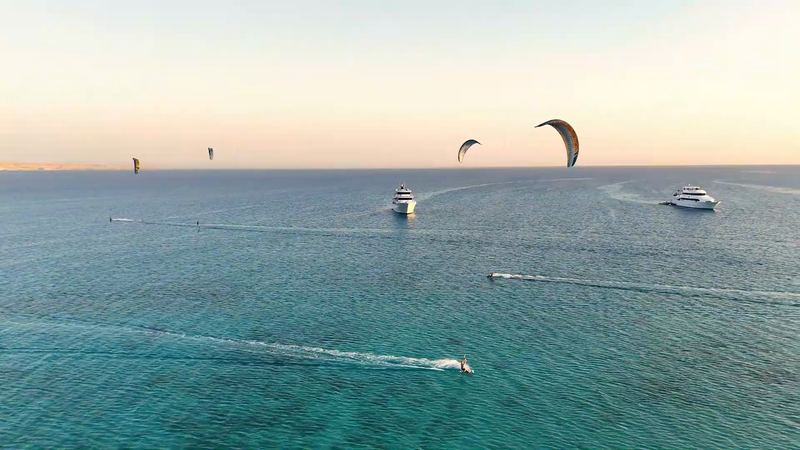
A week on the water
Kite safari in the Red Sea
8 days on a yacht from Hurghada to the islands of the northern Red Sea. Next departure 7-14 November 2026, the 2027 dates are coming soon.
See the safariThe safari is organised by Mohamed of Paradise Kitesurf Red Sea. I've known him for years and we work together.