Landkite spot · Switzerland
Birrfeld Buggy/ATB
Riders have kited it in all directions.
- Works in
- all directions
- Nearest airport
- ZRHZürich Airport, 24 km
Forecast and webcams
Before you go
Forecasts often disagree. When Windguru, ALADIN and Windy agree, it is worth going.
Webcams nearby
Live images from cameras within 25 km of the spot. Click to open the camera on Windy.com.
Webcams: Windy.com
Tips for this spot
- Always a helmet; on a mountainboard also wrist and knee guards.
- A mown meadow or firm beach is best. Walk the area for molehills, stones and fences before you launch.
- There is no water to fall into: start with a smaller kite than you would take on water.
On site
Wind and riding area
worksno reports
Direction the wind blows from. Based on riders' experience, not a forecast.
Pparking
From riders
What you need to know
Parking
- Car park about 450 m from the spot, free.OpenStreetMap
Rules and respect
- The field is used for exercising racehorses about twice a day for half an hour; land your kites and pack up quickly if a rider appears.community map
Conditions
- The meadow by Birrfeld airfield is almost always mowed (less thoroughly lately).community map
In riders' own words
- „Wind ist eigendlich aus allen Richhtungen fahrbar sofern es hat.“
- „Fette Wiese beim Flughafen Birrfeld.“
- „OpenStreetMap way/28806564“
- „Das Feld wird ca 2 mal am Tag für ne halbe Stunde zum Ausreiten von Rennpferden genutzt. Bitte Kites beim Auftauchen eines Reiters landen und gegebenfalls schnel abbauen.“
- „Wiese eigendlich immer gemäht (in letzter Zeit nicht mehr so gründlich).“
Photos from the area
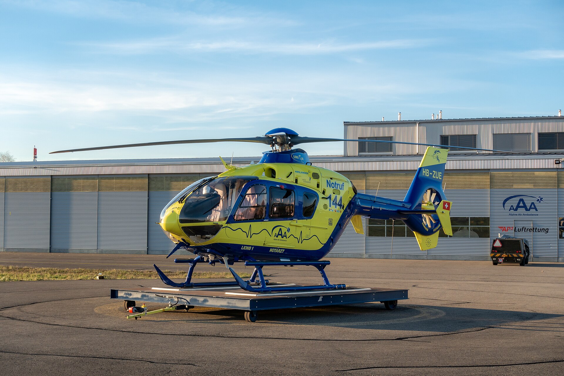
Chme82, CC BY-SA 4.0, Wikimedia Commons
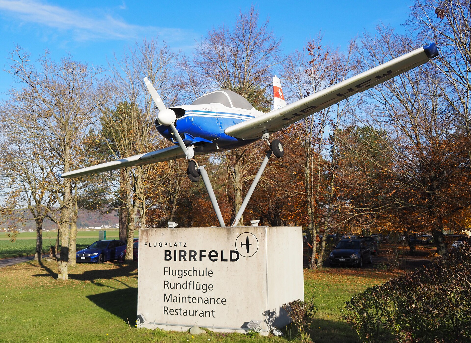
Arkelin, CC BY 4.0, Wikimedia Commons
Wind by month
When it blows
Average wind speed 10 m above ground from NASA POWER (MERRA-2, 2001–2025). The model works on a grid of roughly 50 km; on hills and by the water the wind is often stronger and gustier.
windiest monthsaverage wind in knots, NASA POWER; below the month in m/s
Values by month
| January | 6.7 knots · 3.4 m/s |
|---|---|
| February | 7.0 knots · 3.6 m/s |
| March | 7.0 knots · 3.6 m/s |
| April | 5.9 knots · 3.0 m/s |
| May | 5.9 knots · 3.0 m/s |
| June | 5.3 knots · 2.7 m/s |
| July | 5.2 knots · 2.7 m/s |
| August | 4.8 knots · 2.5 m/s |
| September | 5.2 knots · 2.7 m/s |
| October | 5.4 knots · 2.8 m/s |
| November | 5.6 knots · 2.9 m/s |
| December | 6.4 knots · 3.3 m/s |
Nearby
More spots within 60 km
Been there?
Add what you know
Parking changed, a new ban, a new obstacle in the water? Tell us, we will check it and update the page.
Sources: Community map “Kitespots in und um den Schwarzwald” (Google My Maps). Wind NASA POWER, airports OurAirports, photos Wikimedia Commons (author and licence with each photo). As of 17 October 2026. These are riders' reports; local rules change, so look around before you ride and follow local signs.
A week on the water
Kite safari in the Red Sea
8 days on a yacht from Hurghada to the islands of the northern Red Sea. Next departure 7-14 November 2026, the 2027 dates are coming soon.
See the safariThe safari is organised by Mohamed of Paradise Kitesurf Red Sea. I've known him for years and we work together.