Kite spot on water · United States
Jetty Island
Riders have kited it in NW.
- Works in
- NW
- Nearest airport
- PAESeattle Paine Field International Airport, 21 km
Forecast and webcams
Before you go
Forecasts often disagree. When Windguru, ALADIN and Windy agree, it is worth going.
Webcams nearby
Live images from cameras within 25 km of the spot. Click to open the camera on Windy.com.
Webcams: Windy.com
Tips for this spot
- Offshore wind carries you away from land. Do not ride it without a rescue boat.
- When a storm is coming, get out of the water and land the kite at once. Gusts before a storm are violent and a kite overhead is the highest point around.
- New spot: ask locals about shallows, currents and where people launch.
On site
Wind and riding area
bestworksno reports
Direction the wind blows from. Based on riders' experience, not a forecast.
Pparking
From riders
What you need to know
Watch out for
- Full of swimmers and children in summer, logs at high tide, cold deep water and fast current when crossing the river, no shade or shelter.community map
Where to launch
- Launch north of the Kiteboarding Zone sign; when high tide reaches the logs in onshore wind, launching and landing are more difficult.community map
Parking
- Car park about 350 m from the spot.OpenStreetMap
Getting there
- River crossing to the island (cold, deep water with a strong current; kayaks are also used).community map
Rules and respect
- Life jacket ($100 fine), whistle, and a light at night are mandatory for kayakers; vessels are checked by the Coast Guard and Sheriff.community map
- Do not fly kites over or near swimmers; stay as far north as possible (north of the Kiteboarding Zone sign).community map
- No dogs (bird sanctuary) and strict alcohol ban (1000 USD fine).community map
Conditions
- Thanks to the flats, the water is several degrees warmer than the rest of the bay; at a tide of 9 ft or less, it stays waist-deep for a long way out.community map
- June-August steady afternoon NW thermal (2-7 pm or later), lighter side-onshore for 14-18m kites (occasionally 12m, or for lighter riders).community map
- Large tidal flat, hundreds of yards of beach at low tide, butter-flat water and nice waves, with around 3 ft swell in stronger wind.community map
Riders' tips
- Check TJ's forecast (under-reads by ~5 kt (3 m/s), look for 9+ kt, 12+ is a sure bet), Pt Wilson, Hat Island, Point No Point (NW) sensors, and the Keystone-Pt Townsend ferry (NW 15+).community map
- Watch the Port Angeles - Seattle pressure gradient (NW 0.03" or more) and the Seattle - Wenatchee gradient (.10 W or greater).community map
Facilities
- Free life jacket loaner station at the north end of the launch area, trash cans; no shade or shelter.community map
In riders' own words
- „Jetty typically blows with afternoon NW thermals“
- „Best wind direction: NW“
- „Skill level: Beginner“
- „On low tides there are literally 100’s of yards of beach between the island and the water’s edge.“
- „There is a “Kiteboarding Zone” free-standing sign that is now in use. Please stay north of that sign... high up to the logs it makes launching and landing a bit trickier.“
- „OpenStreetMap way/766607802“
- „The river crossing to Jetty is cold and deep and the current can be swift. It is the law for kayakers to have and wear their life jackets“
- „busy beach full of kiters and beachgoers... tide is high up to the logs... river crossing to Jetty is cold and deep and the current can be swift.“
- „Do not put your kite over, kite close to or kite through ANY swimmers in the water. Stay as far north as possible... stay north of that sign.“
- „Dogs are not allowed on the island because it is a bird refuge and alcohol is strictly prohibited with a $1000 fine.“
- „It is the law for kayakers to have and wear their life jackets ($100 fine)... A whistle is also required as is a light for night kayaking.“
- „June – August, Jetty typically blows with afternoon NW thermals beginning between 2-7 pm... light side-onshore wind so kiters are usually on 14-18m kites“
- „large tidal flat. On low tides there are literally 100’s of yards of beach... very smooth water and nice pealing waves on low tides... swell around 3 feet“
- „temperature is several degrees warmer than the rest of the Sound. On a tide 9 ft and below there will be waist deep water for a long“
Wind by month
When it blows
Average wind speed 10 m above ground from NASA POWER (MERRA-2, 2001–2025). The model works on a grid of roughly 50 km; on hills and by the water the wind is often stronger and gustier.
windiest monthsaverage wind in knots, NASA POWER; below the month in m/s
Values by month
| January | 4.4 knots · 2.3 m/s |
|---|---|
| February | 3.8 knots · 2.0 m/s |
| March | 3.7 knots · 1.9 m/s |
| April | 3.2 knots · 1.6 m/s |
| May | 2.7 knots · 1.4 m/s |
| June | 2.5 knots · 1.3 m/s |
| July | 2.3 knots · 1.2 m/s |
| August | 2.3 knots · 1.2 m/s |
| September | 2.6 knots · 1.3 m/s |
| October | 3.3 knots · 1.7 m/s |
| November | 4.0 knots · 2.1 m/s |
| December | 4.3 knots · 2.2 m/s |
Nearby
More spots within 60 km
Been there?
Add what you know
Parking changed, a new ban, a new obstacle in the water? Tell us, we will check it and update the page.
Sources: Community map “USA NW Kite Spots” (Google My Maps). Wind NASA POWER, airports OurAirports, photos Wikimedia Commons (author and licence with each photo). As of 17 October 2026. These are riders' reports; local rules change, so look around before you ride and follow local signs.
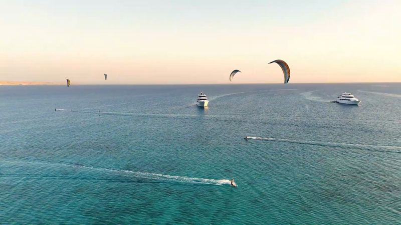
A week on the water
Kite safari in the Red Sea
8 days on a yacht from Hurghada to the islands of the northern Red Sea. Next departure 7-14 November 2026, the 2027 dates are coming soon.
See the safariThe safari is organised by Mohamed of Paradise Kitesurf Red Sea. I've known him for years and we work together.